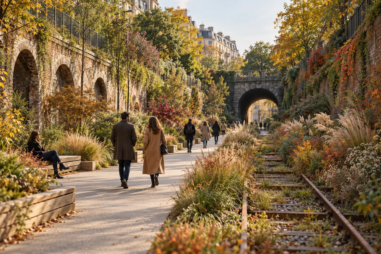
Choose the public section
The City of Paris describes the 15th-arrondissement section as a two-kilometre walk following the opening of a 300-metre tunnel in August 2026. That connection joins the former sections between the Balard area and the direction of parc Georges Brassens.
An old railway map is not a public-access map. Choose the open section and its current entrances before setting off; do not assume the historic line forms one continuous, authorised walking loop around Paris.
Pick an entrance and a return plan
The current city description lists access at 84 rue Leblanc, opposite 82 rue Desnouettes, 397ter–399 rue de Vaugirard, 101 rue Olivier-de-Serres and 47 rue de Dantzig. Select a starting point according to where you want to finish.
Keep the endpoint in your plan, including the onward walk or transport you will use. If you only want a short outing, an out-and-back route can be a personal choice rather than a commitment to cover the whole section.
Follow the site’s access rules
The city lists no toilets on this section and does not permit animals. Check current opening information before travelling and use the authorised entrances; the route remains a managed public space, not an invitation to explore closed railway areas.
Bring what you need for the conditions and keep to the designated walk. The interest is the change from railway infrastructure to planted public space; avoid disturbing vegetation or treating an open tunnel connection as permission to enter other tunnels.